Rocky Mountain National Park
Silverton - The rest of the trip
(Click on any of the photographs for a high resolution version)
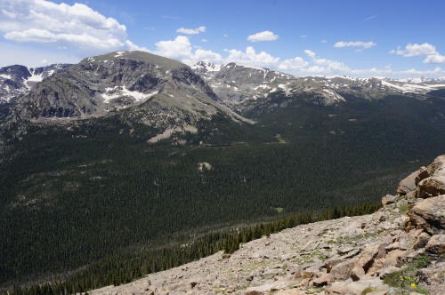
I am now semi-retired but when it came to planning this trip I was still in full blown work mode. That means every second counts with none to spare. If you missed the Kodak moment too bad, there is no time to go back for another look. Trouble is there was plenty of time and I did not have to rush for anything but its a hard habit to break.
First day hammer down to some odd ball cow town in Nebraska after a quick 720 miles. Up early the next day and headed for Trail Jeeps in Boulder Colorado who had very kindly allowed me to store my tow vehicle and trailer on their lot for the day. From there it was off to do the Old Fall River Road in Rocky Mountain National Park.
"Opened in 1920, Old Fall River Road earned the distinction of being the first auto route in Rocky Mountain National Park offering access to the park's high country. In the minds of many park visitors, the relatively subtle old route remains foremost. Unlike Trail Ridge Road, which is well known for being the highest continuous paved road in the nation, the Old Fall River Road is a much more "motor nature trail."
Primarily gravel, one-way uphill and punctuated by switchbacks, slower-paced, 11-mile-long. The old road quietly leads travelers from Horseshoe Park (a short distance west of the Fall River Entrance) through the park's wilderness to Fall River Pass, 11,796 feet above sea level. The journey to the alpine world at the top of Old Fall River Road is relaxing. The experience is one to be savored."
Switchbacks, 16% grade, less travelled gravel road - perfect. I called ahead to make sure it was open. Got there and the bastard was closed due to winter tree falls that had not been cleaned up.
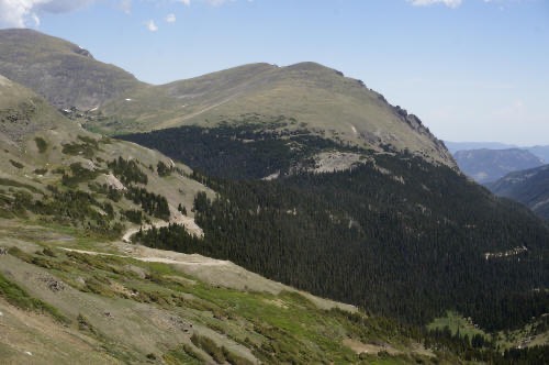
The closest I got to the Old fall River Road. This is where it exits at the Alpine Visitor Center
Plan B - Visit the famous Bear lake.
"Bear Lake, in the heart of the park, is a popular destination and trailhead. The lake lies below Hallett Peak and the Continental Divide. Several trails start from the lake, ranging from easy strolls to strenuous hikes. Bear Lake Road is open year round, though it may close temporarily due to bad weather".
It was not closed but the road to it was. They offered shuttle buses to and from but there was a 1-1/2 hour wait for the bus and there was just something about being the only person in line that spoke English so I left.
Plan C - Drive the Trail Ridge Road.
"Trail Ridge Road is the name for a stretch of U.S. Highway 34 and is the highest continuous paved road in the United States.[1] Also known as Trail Ridge Road/Beaver Meadow National Scenic Byway, it traverses Rocky Mountain National Park from Estes Park, Colorado in the east to Grand Lake, Colorado in the west. The road crosses the Continental Divide at Milner Pass (elev. 10,758 ft or 3,279 m) and reaches a maximum elevation of 12,183 ft (3,713 m), near Fall River Pass (elev. 11,796 ft or 3,595 m). "
It was open the whole way but damn it was crowded. Its amazing the number of drivers that like to straddle the center line oblivious to the on-coming traffic, have the hardest time pulling into and exiting the Kodak moment spots and just have to stop in the middle of the road to photograph every plant and rock in the park. When there is an animal, and it may be just a ground squirrel they go nuts, hanging out of every window and sunroof clicking away.
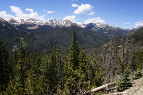
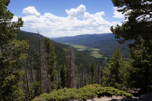
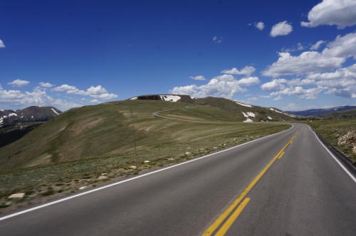
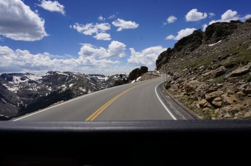
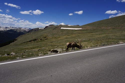
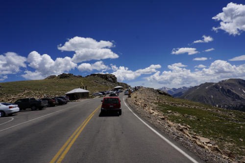
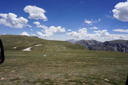
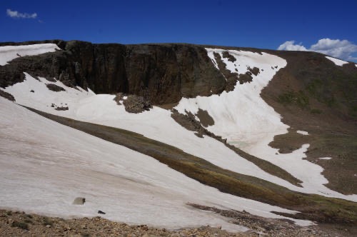

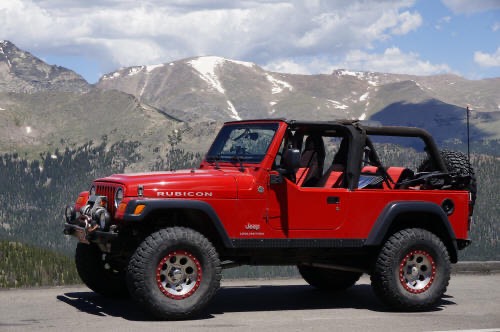
The park was okay but no where near as nice as the Grand Tetons or the San Juans so I scooted down to Granby, checked into a hotel run by an Iraqi, had a fine meal followed by ice cream and beer. Listed to a country singer from New York City, drank more beer and sort of walked back to the hotel.
EXTREME POINTS TOUR - Highest continuous paved road in the United States - Been There, done that.
Day 3 - Up at the crack of dawn to hammer up Mount Evans.